The Inverloch Coastline
Inverloch’s sandy coastline is exposed to the full force of the powerful Southern Ocean, which results in a dynamic and changing environment. With more frequent storms and rising sea levels, Inverloch surf beach has lost over 70 meters of foreshore dunes since 2012. Use the arrow tool to swipe left and right to see the comparison of Inverloch Surf Beach from 2012 to 2024.


What is Bass Coast Shire Council currently doing in Inverloch?
November 2025 - Sandbag Wall Extension
Update 24 December 2025 - The Inverloch Sandbag Reconstruction Project has been demobilised until 27 January 2025. Enjoy the summer!
Bass Coast Shire Council began important coastal protection works in Inverloch on Monday 24 November 2025.
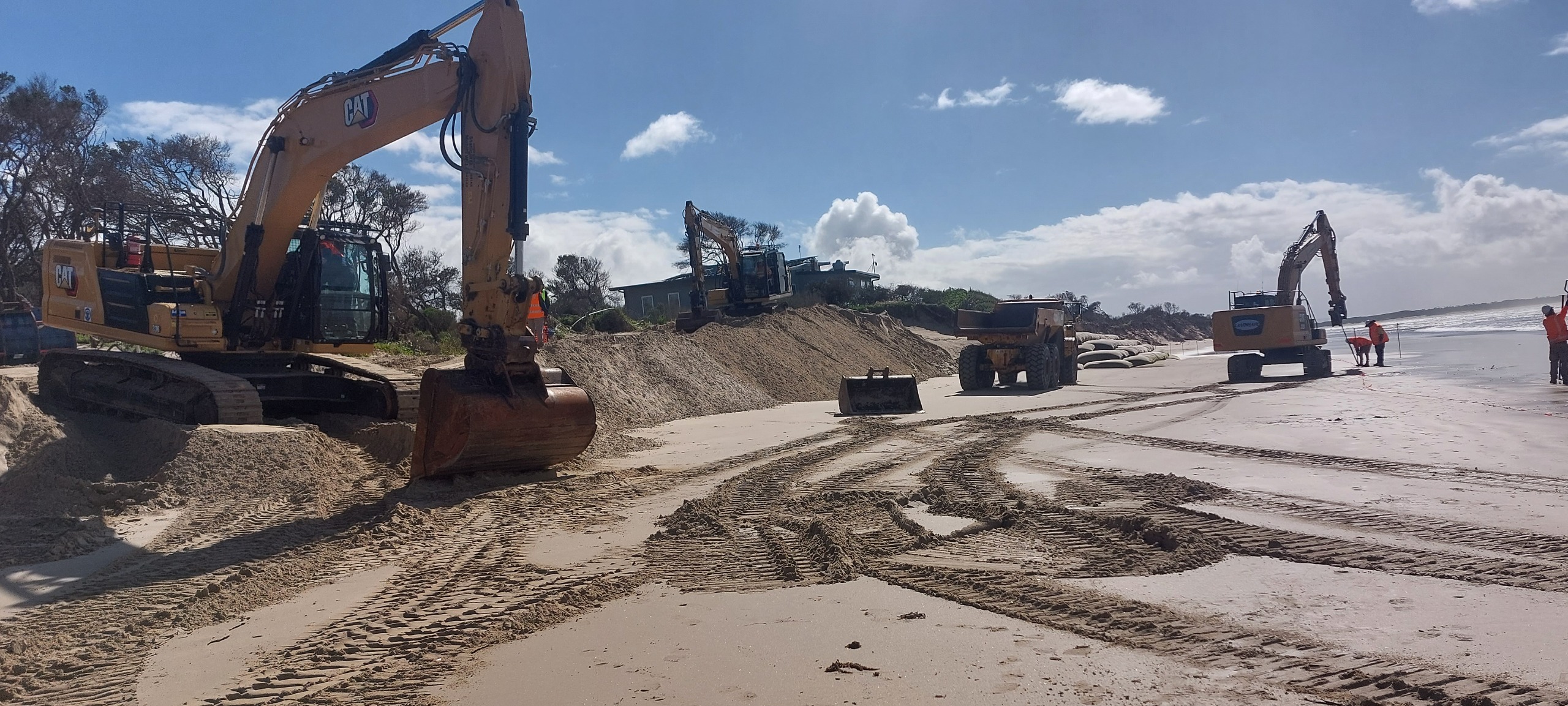
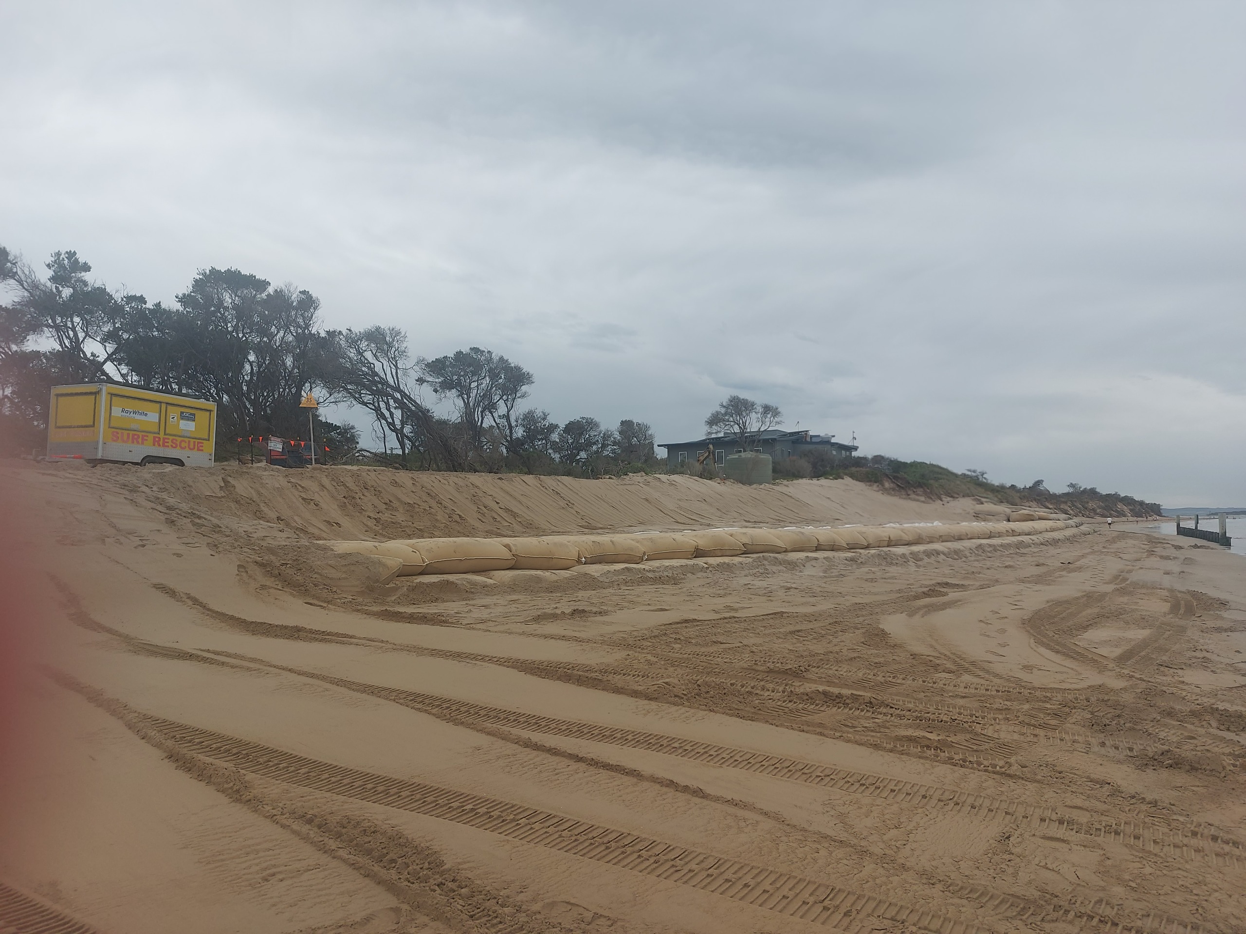
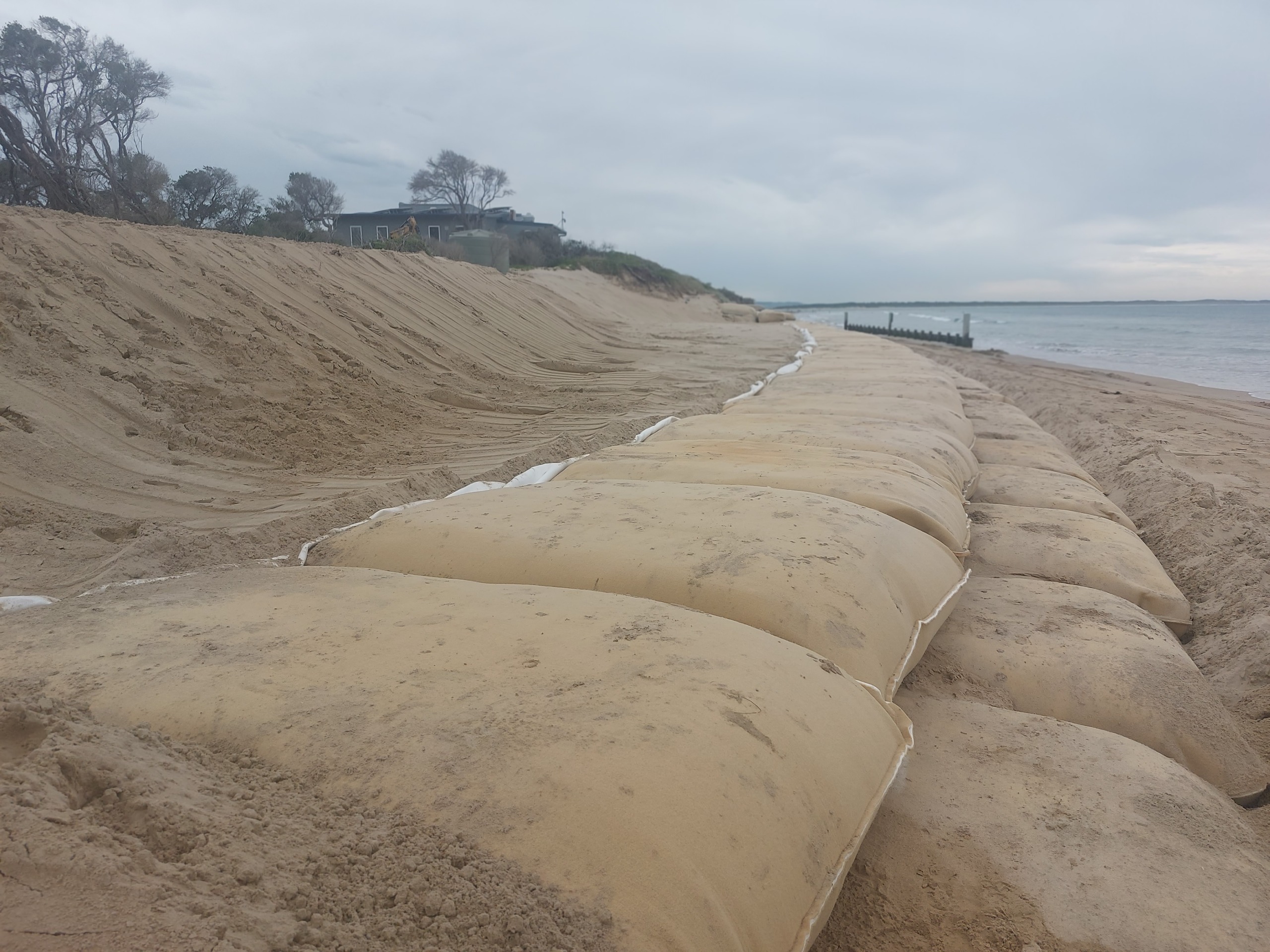
The project will extend the existing sandbag wall and complete repair works near the Inverloch Surf Lifesaving Club to help safeguard public land, community assets and vital access points from ongoing wave erosion.
Funded by the Department of Energy, Environment and Climate Action (DEECA), the $700,000 project will be delivered by Landshape Earthmoving & Excavations following a competitive tender process. Works are expected to take around six weeks, subject to weather, tides and contractor availability.
Work will cease on 18 December 2025 to allow for the busy summer beach access and operation of the Surf Life Saving Club and start again in early February.
Council has been working closely with the Inverloch Surf Life Saving Club to ensure the club can operate safely and beachgoers have the best possible experience at the Surf Beach.
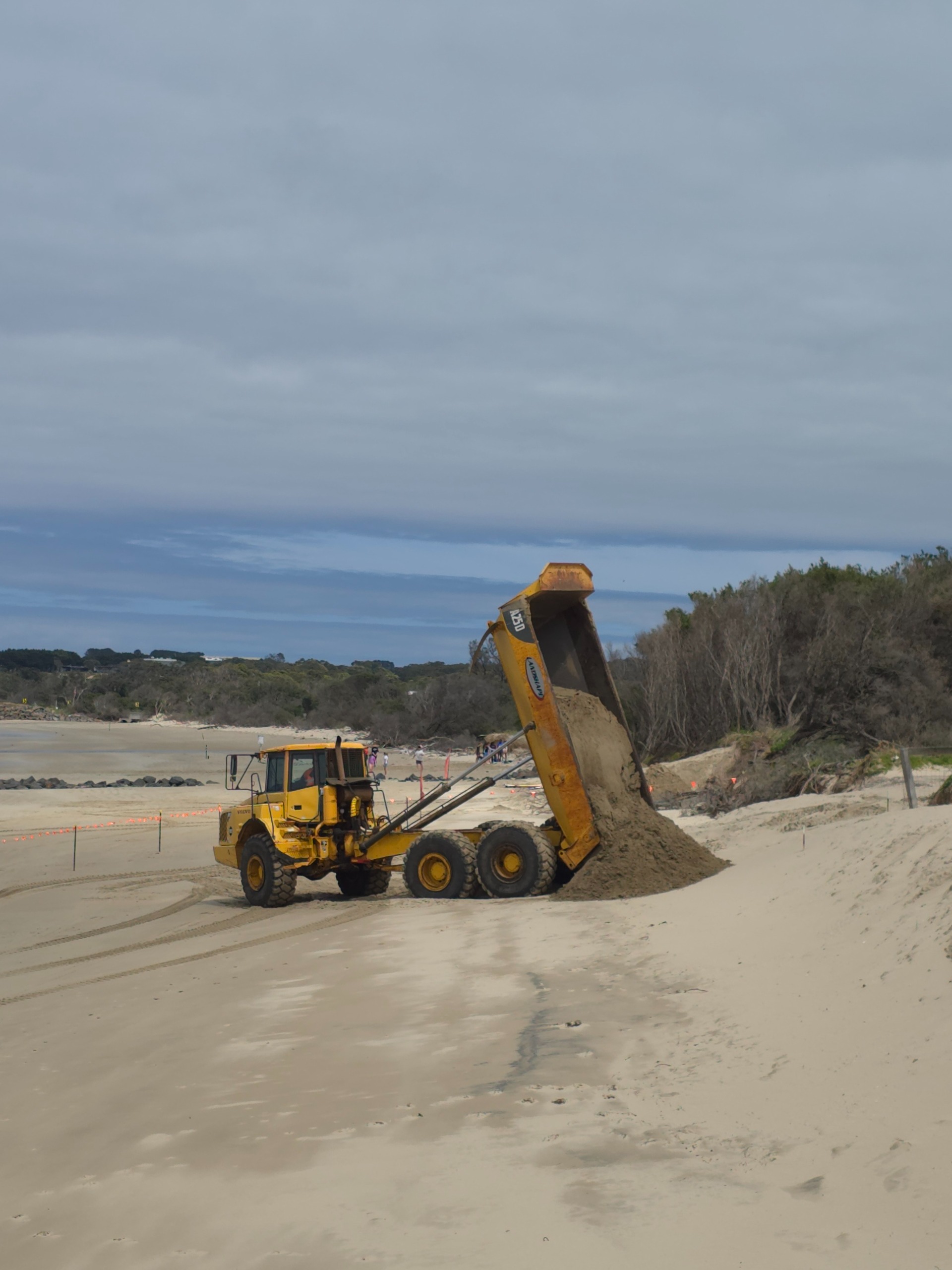
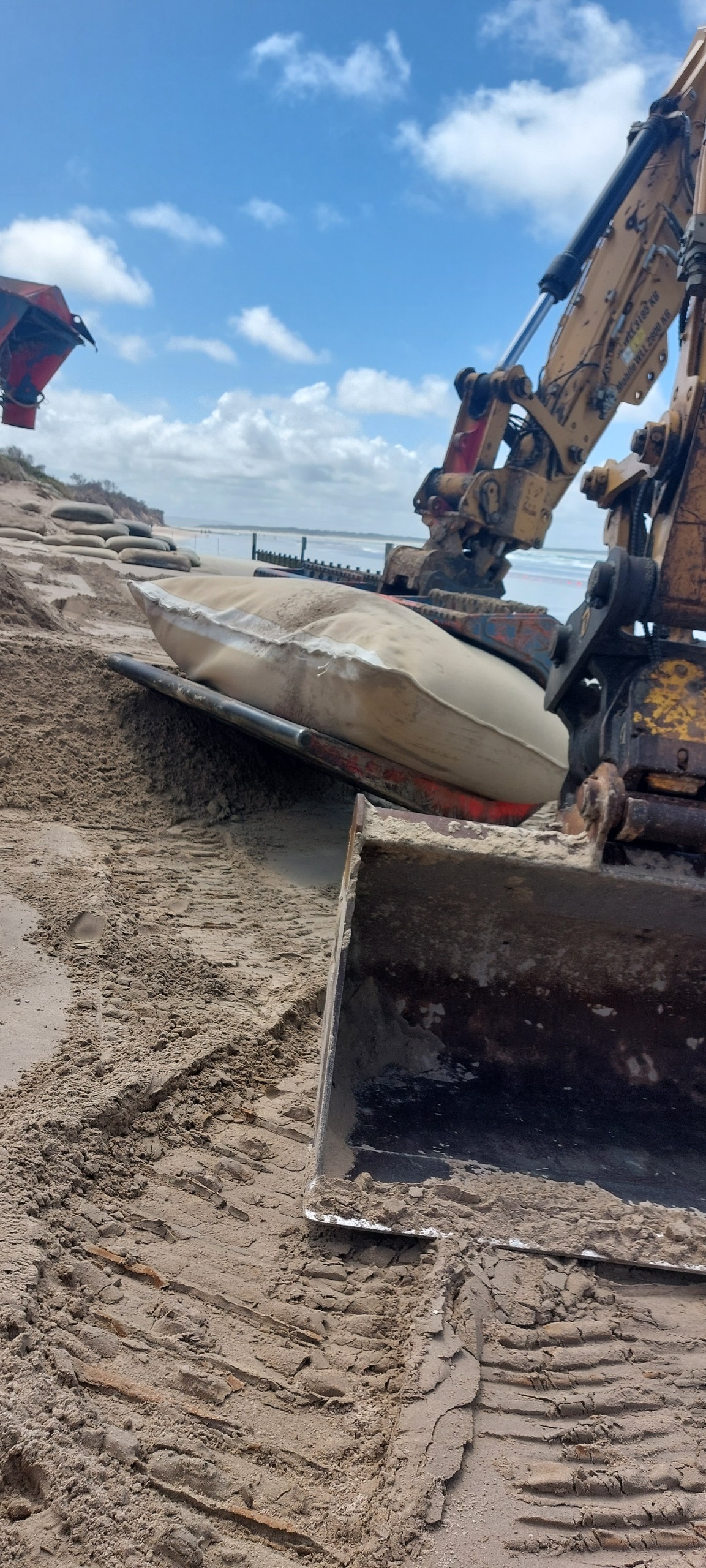
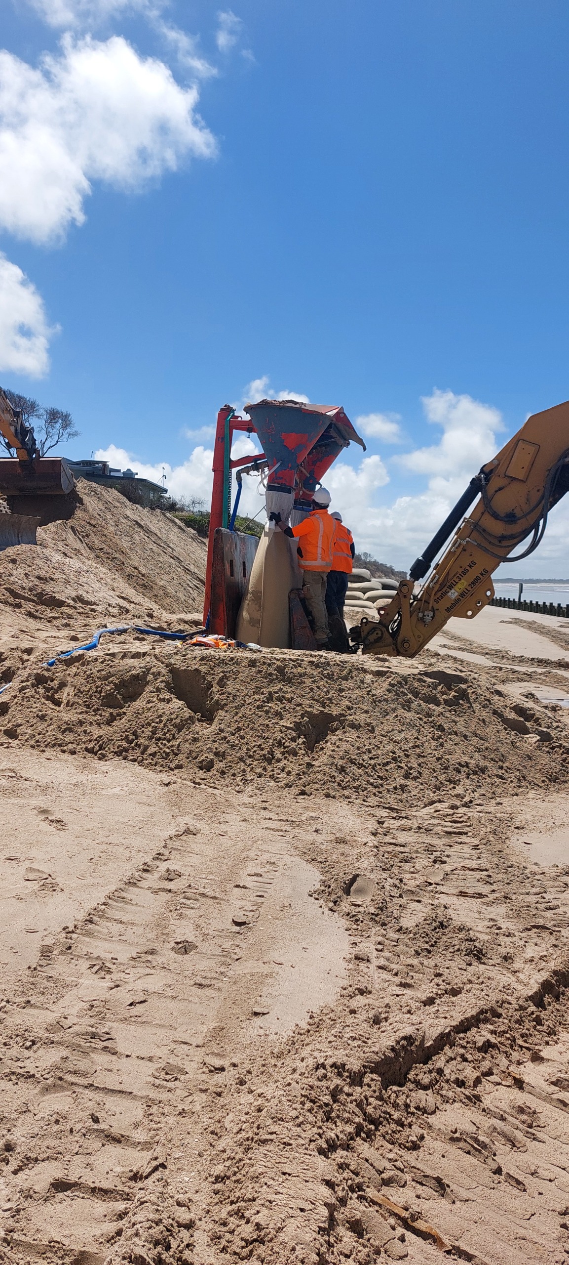
The project includes constructing approximately 110 metres of new sandbag wall to the east and west of the existing structure, repairing existing bags and access tracks, extracting and transporting sand from Point Norman to fill the sandbags, and undertaking reinstatement works including shrub planting where they have been disturbed by the works.
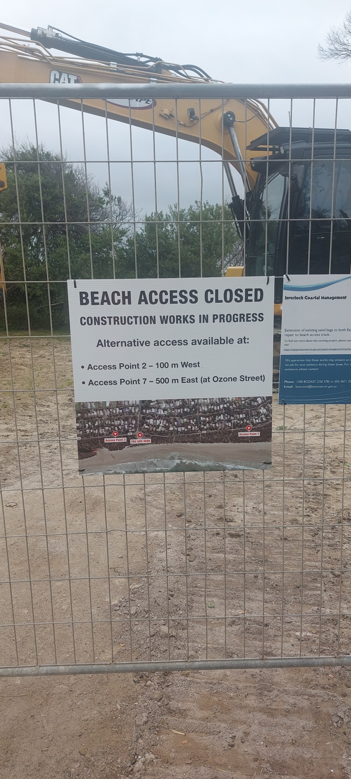
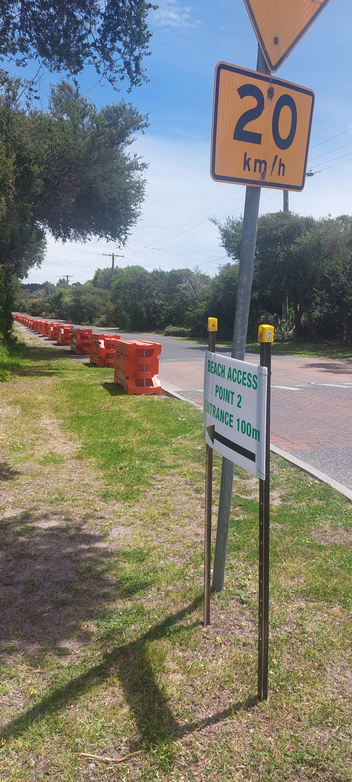
For safety reasons, there will be temporary restrictions on traffic and pedestrian access around the lifesaving club carpark and beach access track.
The beach access track at the Surf Life Saving Club will be closed during the construction period. A temporary track will be established close to the existing track in the coming days.
Traffic controls, spotters and other safety measures will be in place throughout the works.
Residents and visitors can expect periods of noise from machinery such as dump trucks and earthmoving equipment as sand is extracted, delivered and used to fill the new sandbags.
Council acknowledges that these works may cause inconvenience and appreciates the community’s patience as we complete this important coastal protection project.
Businesses around the Inverloch Surf Life Saving Club - Offshore Surf School, Salty Seas Surf School and the Invy Kiosk Surfside - will be open as normal during the works.
This project precedes the work by DEECA set to commence in February which will include the movement of sand from Anderson Inlet to the Surf Beach.
Other Actions
DEECA's Inverloch Dune Reconstruction and Beach Nourishment project
DEECA's Inverloch Dune Restoration and Beach Nourishment project is due to commence in February 2026.
This link will take you to the Cape to Cape Resilience Project page which contains fact sheets and updates on this project as well as a video presentation of the works and reasoning behind them.
Bass Coast Shire Council commitments:
- Ongoing Monitoring: Council will continue tracking foreshore erosion patterns and conditions; and continue to share this information with other responsible agencies.
- Summer Preparation: Ahead of the busy summer season, Council will undertake works to ensure safe public access to the beach including updates on access points and foreshore conditions.
- Communications: A public communications plan will provide timely on Council’s website.
What can you do?
Be sure to keep a safe distance from unstable sand dunes and cliffs. Leave driftwood in place and follow safety signs. Stay on designated access tracks.
Contact Us
Have questions or want to learn more about a project, contact us below:
| Name | Coast & Bushland Team |
|---|---|
| Phone | 1300 226 278 |
| basscoast@basscoast.vic.gov.au | |
| In writing | Bass Coast Shire Council |


